
Project Description
IMAGE PROCESSING
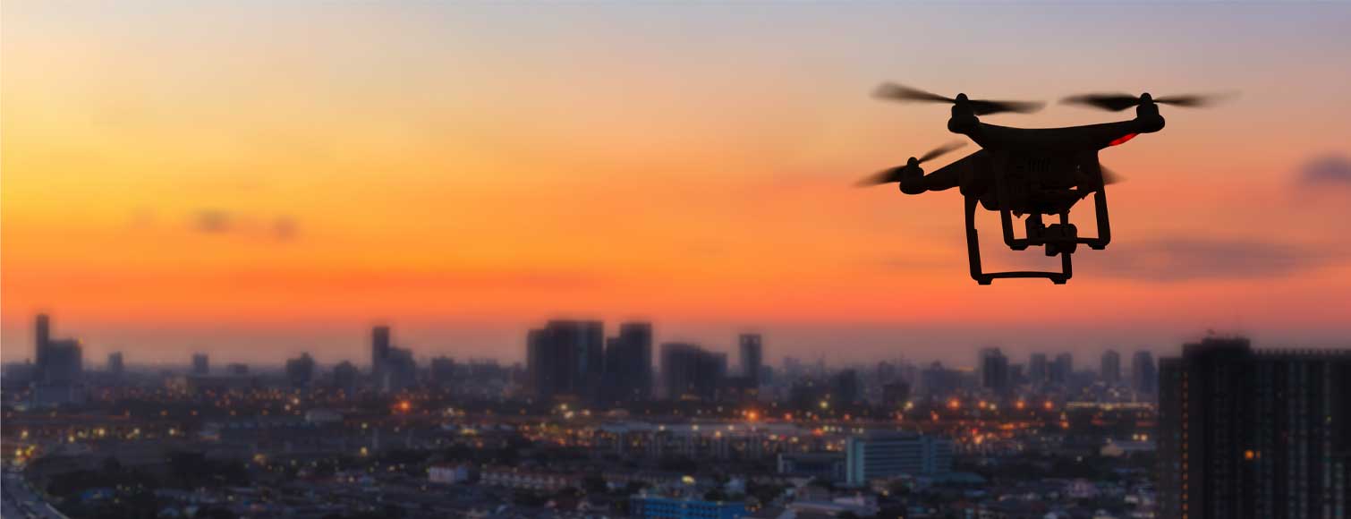
Image Processing

The aerial images that are taken by drones or other UAVs are imported to the software and image processing technology processes the images and compare them to the software image database. Based on the comparison, the software is able to identify the phase of the project and completion percentage.

The Hyrizer’s intrinsic value is that it improves efficiency and transparency for all stakeholders.
OFFICE LINE
1.800.555.6789
EMERGENCY
1.800.555.0000
WORKING HOURS